

Water Bodies
River
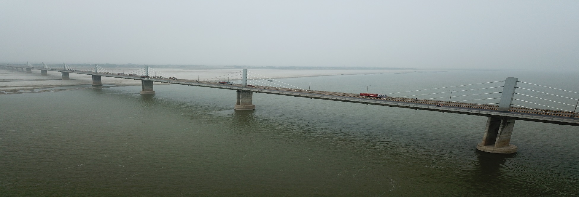
Ganga
Ganga – The Ganges also known as Ganga is a trans-boundary river of Asia which flows through the nations of India and Bangladesh. The 2,525 km (1,569 mi) river rises in the western Himalayas in the Indian state of Uttarakhand, and flows south and east through the Gangetic Plain of North India. After entering West Bengal, it divides into two rivers: the Hooghly River and the Padma River. The Hooghly, or Adi Ganga, flows through several districts of West Bengal and into the Bay of Bengal near Sagar Island. The other, the Padma, also flows into and through Bangladesh, and also empties into the Bay of Bengal. The Ganges is the third largest river in the world by discharge.
The Ganga is the most sacred river to Hindus. It is also a lifeline to millions of Indians who live along its course and depend on it for their daily needs. It is worshipped as the goddess Ganga in Hinduism. It has also been important historically, with many former provincial or imperial capitals (such as Pataliputra, Kannauj, Kara, Kashi, Patna, Hajipur, Munger, Bhagalpur, Murshidabad, Baharampur, Kampilya, and Kolkata) located on its banks.
There are few small rivers that meet river Ganga directly such as River Karmnasha near Chausa, river Kao-Thora near Bukar, river Dharmawati and Gangi between Buxar and Ara and river Gerua near Ghogha (Bhagalpur) from right side and river Mahi near Sonepur and river Baya near Bachhwara from left side in Bihar known as Ganga stem Basin.
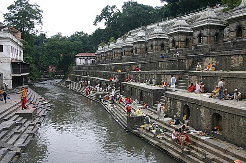
Bagmati
Bagmati is a perennial river of North Bihar. It originates from the Shivpuri range of hills in Nepal at latitude 27° 47’ N and longitude 85° 17’E., 16 Km North-East of Kathmandu at an elevation of 1500 m above MSL. It enters Indian territory in Bihar in the village Shorwatia in Sitamarhi district, nearly 2.5 Km north of Dheng railway station. The total length of this river is about 589 Km. It traverses nearly 195 Km in Nepal and rest 394 Km in Bihar. It outfalls in the Kosi at Badlaghat.
Gandak
The river Gandak originates at an altitude of 7620 m above MSL in the north of Dhaulagiri in Tibet near Nepal border at Latitude 29°18' N and Longitude 83°58'E, in the snowy peaks of the Himalayas. The river enters the Indian territory near Tribeni town in Nepal. Thereafter the river flows in a southerly direction and forms boundary between Uttar Pradesh and Bihar. It flows through the West Champaran, East Champaran, Muzaffarpur, Gopalganj, Siwan, Saran and Vaishali districts of Bihar and Gorakhpur and Deoria district of Uttar Pradesh before joining Ganga at Hajipur.
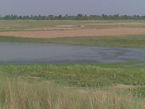
Burhi Gandak
The river Burhi Gandak originates from Chautarwa chaur near Bisambharpur in the district of West Champaran in Bihar and flows through the districts of East Champaran, Muzaffarpur, Samastipur and Begusarai. It outfalls into the Ganga near Khagaria. The total catchment area is 12021 sq.Km, out of which 9601 sq.Km lies in Bihar and rest in Nepal. There is no major or medium project over the Burhi Gandak river system.
Ghaghra
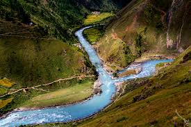
Originates in Tibet near Manas Sarovar and the main tributary river Sarayu.
Phalgu River
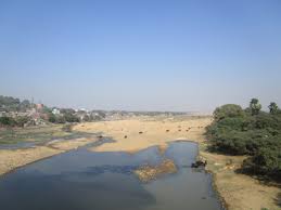
Revered as a holy river by the Hindus this river flows by the Gaya district of Bihar and draws lot of Hindu pilgrims to the sacred spot at Gaya. In the ancient texts this river is mentioned as Niranjana River. The water flows below the ground level and only the stretch of sandy surface is visible from the top of the riverbed. Thus there are lot of mythical tales regarding the river.
Karmanasha River
Originates from Bihar’s Kaimur district and is a tributary to Ganga.
Koshi River
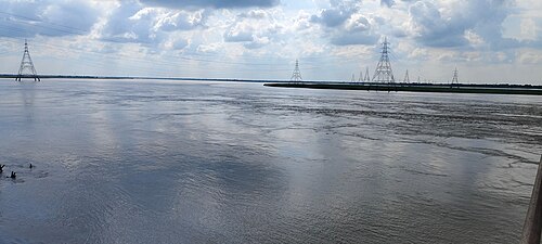
The river Kosi originates at an altitude of over 7000 m above MSL in the Himalayas. The upper catchment of the river system lies in Nepal and Tibet. The highest peak in the world, the Mount Everest and the Kanchenjunga are in the Kosi catchment. It is known as Sapta Kosi in Nepal. It enters the Indian territory near Hanuman Nagar in Nepal. It joins the Ganga river near Kursela in Katihar district. The river Kosi drains a total catchment area of 74030 Sq.Km in India and other countries. Out of the total catchment area of the Kosi, only 11410 Sq.Km lies in India and the rest 62620 Sq.Km lies in Tibet and Nepal.
Mahananda River
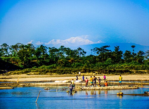
Mahananda River is one of the prime tributaries of the Ganga River in the eastern part of India. The origin of this mighty Mahananda River is from the extreme north of West Bengal from the stunning hills of Darjeeling at an elevation of 2100 m. Originating from this beautiful hill station the Mahananda River, then flows southwards through the fertile agricultural area of Bihar and enters West Bengal flowing past English Bazaar. From Darjeeling to Bihar and after entering through Uttar Dinajpur district in West Bengal, Mahananda River, then flows in the southeast direction into Bangladesh, near Tentulia in Panchagarh District.
The journey of the Mahananda River is still not complete and the river merges into Ganges, at Godagari Ghat after flowing for 225 miles (360 kilometers). The major tributaries of the Mahananda are Balason, Mechi, Ratwa and Kankai. It has three tributaries in the Siliguri area called the Trinai, Ranochondi and the pair of Chokor and Dauk taken as a single tributary. The total drainage area of the river is 20,600 sq. km. of which 11,530 sq.km. lies in India. The river finally enters Bangladesh and joins Ganga at Godagiri.
One of the most interesting facts about the Mahananda forms in its upper course an important linguistic boundary between the Bengali and the Hindi speaking areas and communities. The Mahananda River is mainly fed by the monsoons and floods occur in this river as well. It has a low water level during the summers or winters.
Punpun River
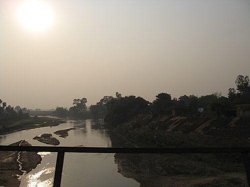
The Punpun river is an important river bank tributary of the Ganga river in lower reaches. It originates from the Chottanagpur hills of Palamau district at an elevation of 300 m in Bihar and lies between east longitudes of 84°10' to 85°20' east and north latitudes of 24°11' to 25°25'. The river mostly flows in a northeast direction and finally joins the Ganga river at Fatuha, about 25 km downstream of Patna. The river is 200 km long and is mostly rainfed and carries little discharge during non-monsoon period. It meets a number of tributaries namely the Butane, the Madar and the Morhar while flowing through the Chottanagpur plateau. The Punpun often causes heavy flood damages on the eastern side of Patna city.
The shape of the Punpun basin is roughly trapezoidal. The catchment area of the Punpun catchment is about 8,530 sq. km. which is about 1% of the total area of the Ganga basin in the country. The agriculture area under the Punpun basin is about 5,000 sq. km. The average annual rainfall for the basin is 1,181 mm. The total gross recharge in the Punpun river system is 1.6 lakh ha-m. However, only 75% of the gross recharge can be utilised.
Son River
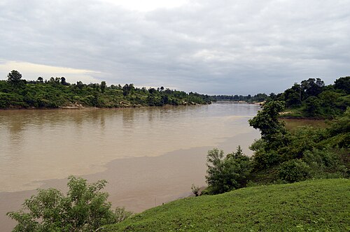
Son River, Son also spelled Sone, principal southern tributary of the Ganges (Ganga) River, rising in Madhya Pradesh state, central India. It flows north past Manpur and then turns northeast. The river cuts through the Kaimur Range and joins the Ganges above Patna, after a 487-mile (784-km) course. The Son valley is largely forested and sparsely populated. The valley is bordered by the Kaimur Range to the north and the Chota Nagpur plateau to the south. The river’s flow is seasonal, and the Son is unimportant for navigation. Dams have been constructed on some of its tributaries. At Dehri, in Bihar state, are the headworks of the Son canal system.
Waterfalls
Bihar is one fascinating tourist spot since it is one of the oldest places in the world with inhabitant’s history of over 3000 years. There are many monuments, temples and other places of interest like sanctuaries and waterfalls. This is one place where the old meld with the living present; where temples and monuments stand as memories of the past in places near places where waterfalls are situated. Most of these waterfalls are sacred and have stories added on. Pilgrims revere the waters and believe that a dip in these sacred waters absolve them of all sins. Some of the more famous waterfalls in Bihar a
Kakolat Falls (Nawada)
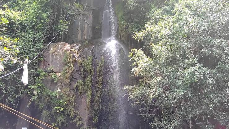
Located about 33 kms from Nawada, this is a popular tourist site in Bihar. The water cascades from a height of 160 feet and the place is a refreshing change where the visitor feels rejuvenated. There is a natural pond at the base of the fall. It is situated near the border that Bihar shares with Jharkand. There is a legend connected to the waterfall. The story is that during Treta Yug, a king was cursed and he took the form of a python. The king was later absolved from the curse when the Pandavas came to the place on their exile. The falls is an important tourist destination.
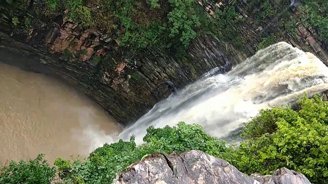
Telhar Waterfall (Kaimur)
Telhar Kund is the name of a waterfall located on Bhabua - Audhora Road in the Kaimur district of Bihar, India.The fall is located in Rohtas plateau, close to origins of Durgavati River. It is only a few kilometres from Durgavati reservoir project.
This Kund is at distance of 32 km drive from Bhabua (Kaimur District Head Quarter) and 47 km from Mohania. Nearest railway station is Bhabua Road(code BBU) at a distance of 47 km. 32 km drive from Bhabua to Telhar Kund has a beautiful natural scenery and picturesque. It is in the lap of nature surrounded by beautiful hills and jungle. This place is really very exciting place for picnic/one day outing for nature loving people along with family and friends. One can enjoy the curls and curves of the hilly road which passes through kaimur hills. Persons going for picnic should carry their all food, water etc as there is no shops or market in vicinity of this Kund.
Near by Places: Maa Mundeshwari Temple - This is one of the oldest and famous temple situated just 28km from the Kund. This is just 7 km away from Khiri market situated on same Bhabua - Audhora Road where Telhar Kund is situated.
Karamchat Dam - This Dam is situated at 37 Km away from Bhabua. This is also a beautiful place to visit with family and friends
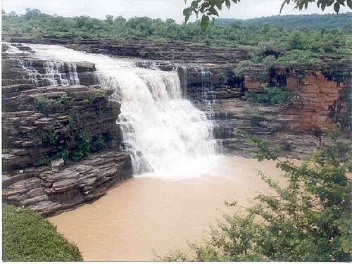
Karkat Waterfall (Kaimur)
The Kaimur Hills in Kaimur District is famous for the Karkat waterfall. It is a picturesque spot and an enchanting one. Visitors are drawn to the location where the water gushes down from a ravine. Karkat Waterfall has facilities for boating, swimming and fishing. The Kaimur Wildlife Sanctuary is near this waterfall.
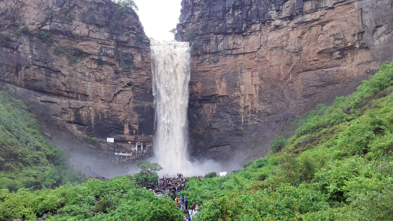
Tutla Bhawani (Tutrahi or Titula Dham) (Rohtas)
Tutula Bhawani (also Tutrahi or Titula Dham) is located nearby Tilauthu and approximately 20 Km south west from Dehri-on-Sone. This is the most beautiful place of Rohtas. From north-west and south-east, these are two large mountains.
The two large mountains one from north west and another from south east at converge to create a green valley which stretches to 1 mile , there’s a spring fall in the middle and from the middle of the valley a kachuar river flows. All this creates a fascinating scene from east this valley stretches 300 M wick wharves from west it shrinks to only 50M from west a spring fall is created which falls from a height of 200 M.
Inside the spring on the right side of it slightly lights here’s a chabutara. From, the light here’s a way to go there, from this chabutara on, the south of it, here’s big lock which is divided into three pouts, there’s a sock edict of nayak pratap dhawal which was depicted on 1158AD.
Now, a days a small temple of Tutla Bhawani has been made, people from different places visit here.
Spring
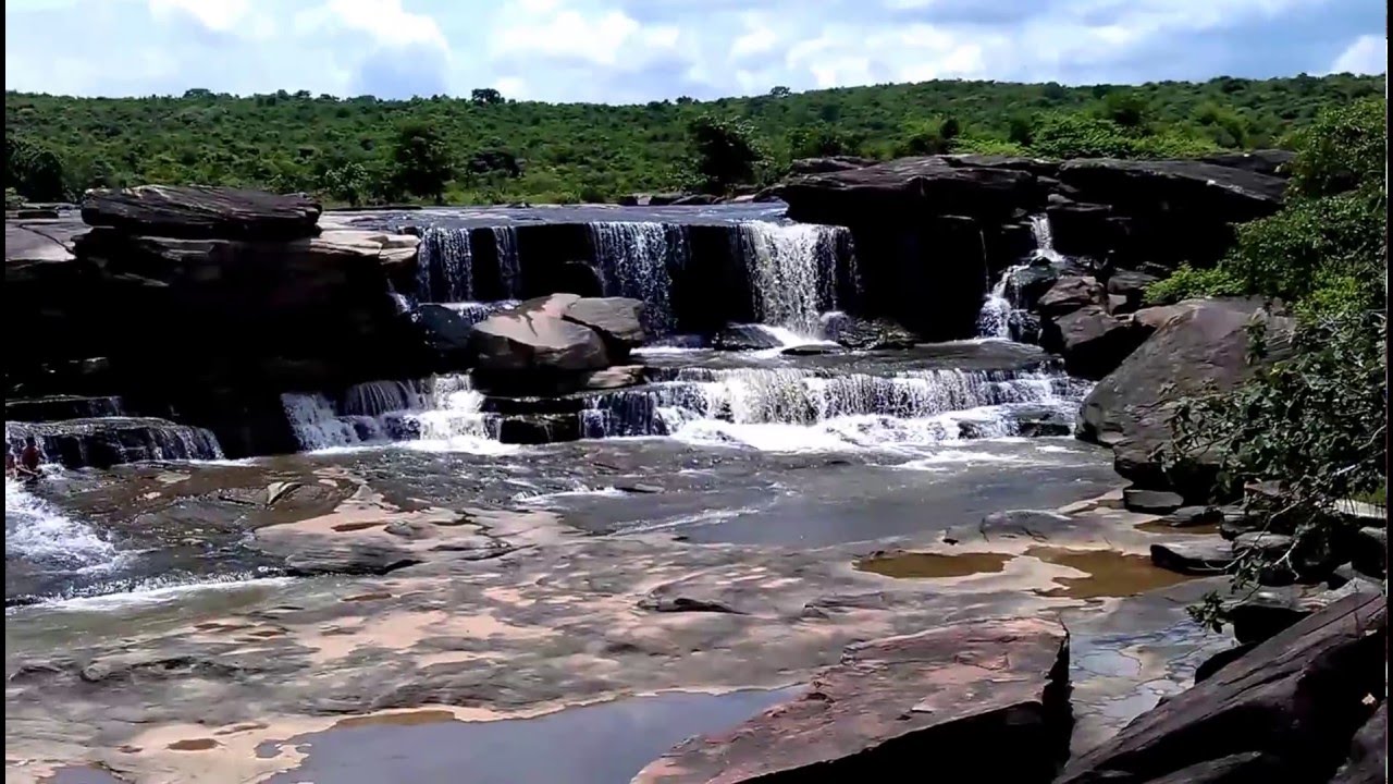
Manjhar Kund (Rohtas)
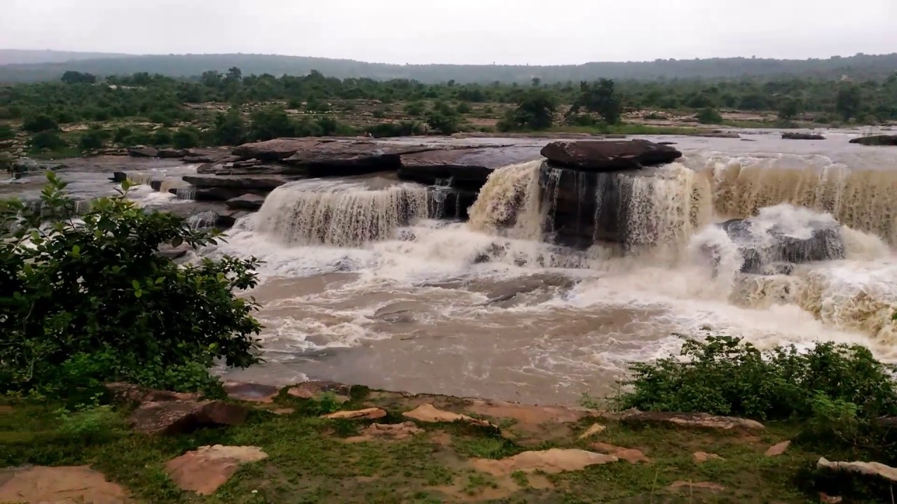
The Manjhar Kund waterfalls also called the Manjhar K Waterfall is situated near Sasaram, the district headquarters of Rohtas District in Bihar. This waterfall is one of the finest falls in India.
Dhua Kund (Rohtas)
The Dhua Kund are a pair of waterfalls situated in the city of Sasaram. These two waterfalls have been utilised as a hydroelectricity source with the capacity to generate 50–100 MW of electricity.
Sita Kund (Sitamarhi)
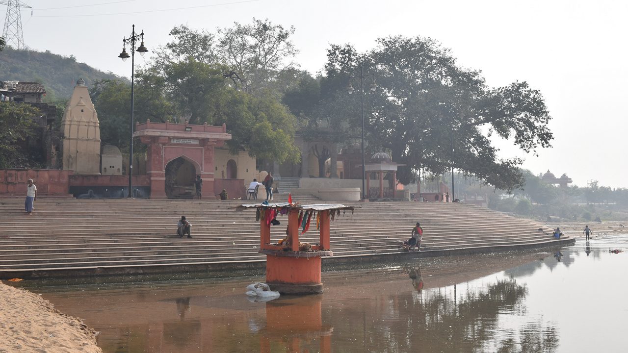
The Sita-Kund is a Hindu pilgrimage site in Sitamarhi district, in the Indian state of Bihar, which has an ancient Hindu temple. It is situated 5 km west of Sitamarhi town and a popular visitor's attraction.
Punaura Dham Mandir is one of the holiest Hindu temples dedicated to Goddess Sita, located in Sitamarhi, Bihar, India. Million of pilgrims visit the temple every year and most visited religious shrine in North India.
Punaura Dham is about 5 km west of Sitamarhi. Saint Pundrik's Ashram was situated here. Sita-Kund place is the honour of being the birthplace of Hindu Goddess, Sita.
Hot Spring (Rajgir)
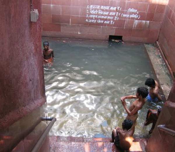
At the foot of Vaibhava Hill, a staircase leads up to the various temples. Separate bathing places have been organized for men and women and the water comes through spouts from Saptdhara, the seven streams, believed to find their source behind the "Saptarni Caves", up in the hills. The hottest of the springs is the Brahmakund with a temperature of 45 degree Centigrade.
Lakes
Bihar is a sacred land, where there are routes of some of the biggest religions in India like Buddhism and Jainism. This is the land where Buddha attained enlightenment. The land with many religious beliefs, myths and legends is Bihar and all the basic natural elements like rivers, lakes and other natural bodies relate somewhere to these beliefs. Bihar lakes have a lot of significance over a lot of things; it bounds humans and also the surrounding eco-system. There are many beautiful Lakes in Bihar which attract numerous tourists for some reason or the other. At Bodhgaya in Bihar which is the centre of Buddhism around the globe, has a small but beautiful lake called the Muchalinda Lake. This lake is connected to the life of Lord Buddha and is celebrated place. Lake Kanwar in Bihar is another popular site, offering great tourism opportunities. Lake Kanwar also have a bird sanctuary which is a popular birding site in Bihar.
Kanwar Lake (Begusarai)
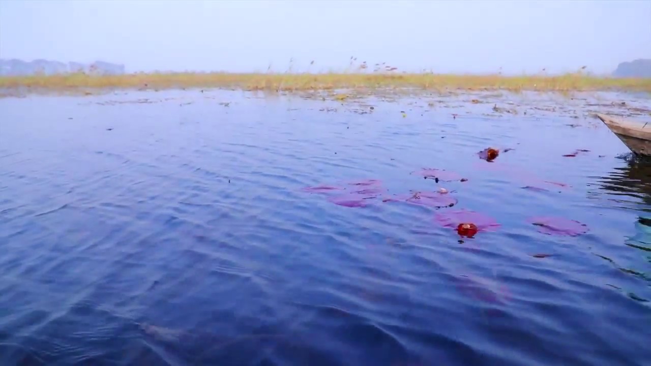
Situated in Begusarai District (Bihar), Kanwar Lake is one of the most famous and eco-friendly natural lakes. It attract variety of migratory birds which come from all parts of Central Asia during winter months. More than 106 species of resident birds have their home here.The lake can be visited during October and June.
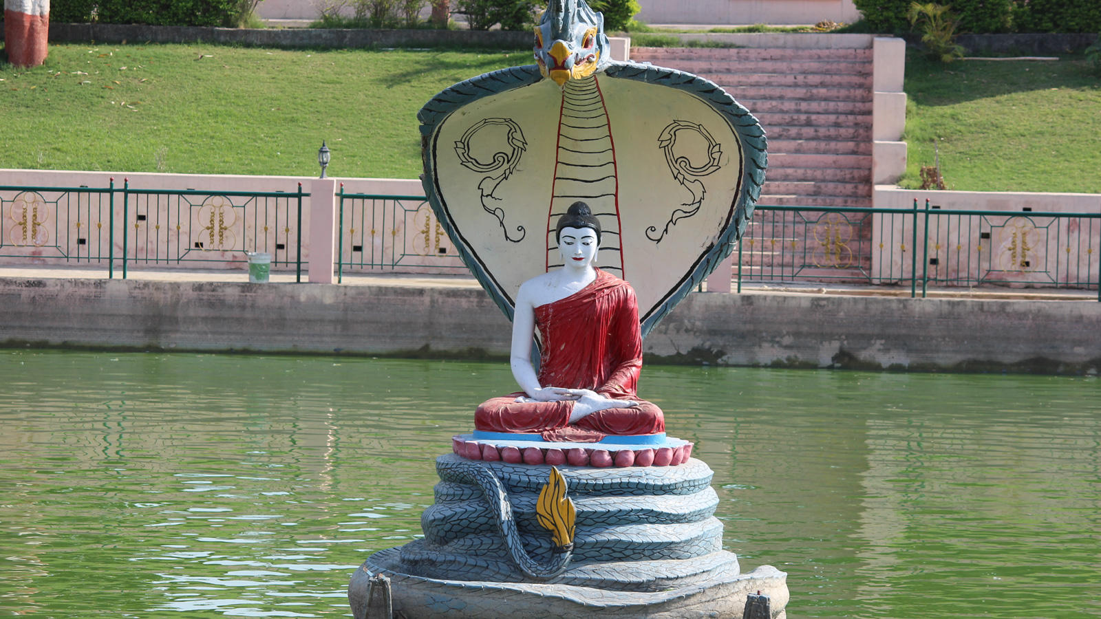
Muchalinda Lake (Bodhgaya)
Muchalinda Lake is situated in the religious town Bodhgaya, which is one of the most venerated and holy site for Buddha worshipers from all over the world. In Bodhgaya, Prince Siddhartha Gautama sat beneath a bodhi tree and attained enlightenment. Muchalinda Lake is the exact place where Buddha was meditating in the sixth week of his meditation. During his meditation process a severe thunder storm occurred and Buddha was disturbed in his meditation because of the strong storm.
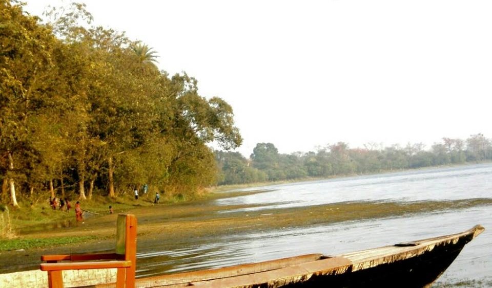
Saraiya Man Lake (Bettiah)
Saraiya Man Situated at a distance of about 6 Kms. from Bettiah town, Saraiya man is a lake which is a beauty spot. The water of this lake is considered salubrious for digestion because of black berries (Jamun) planted on its banks which fall in the water. The lake attracts large varieties of birds.
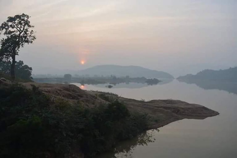
Kharagpur Lake (Munger)
Kharagpur lake is one of the most beautiful lakes in Munger and it has been further beautified by construction of a reservoir by Maharaja of Darbhanga. It is 3km far from the Kharagpur city in the west direction.
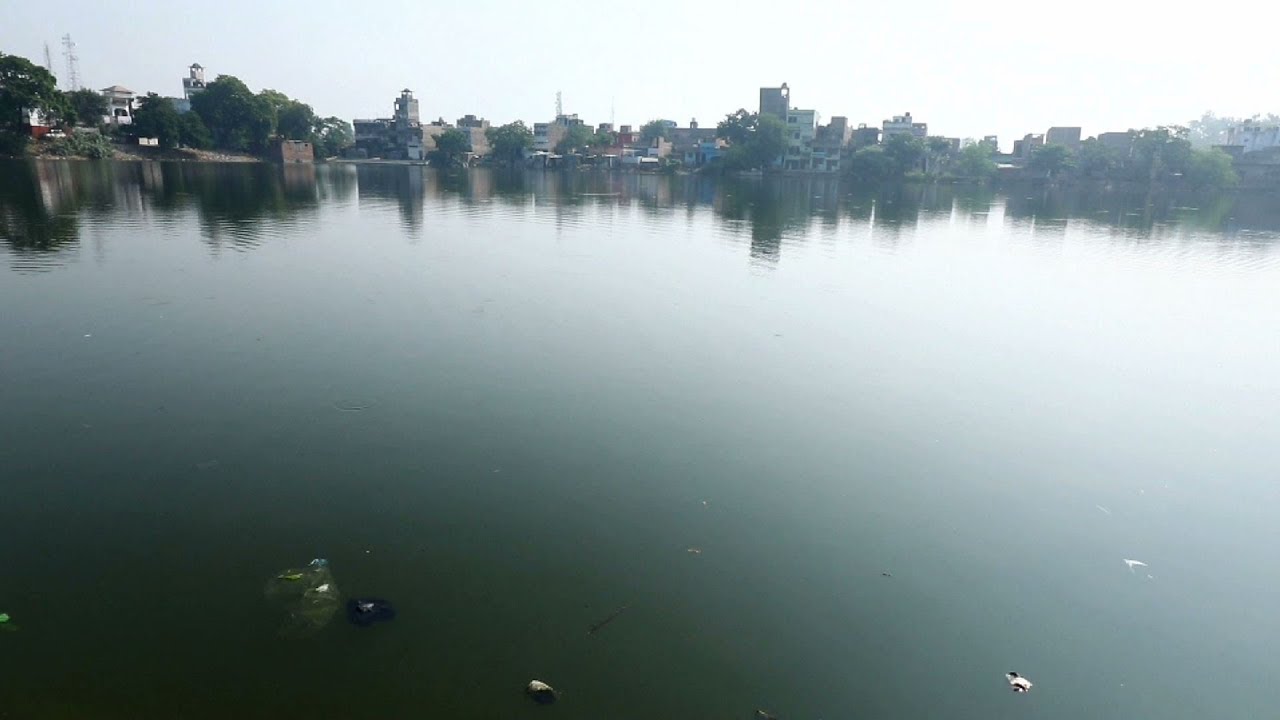
Moti Jheel (Motihari)
Moti Jheel is a historical canal located in the heart of the city of Motihari. Beautiful sceneries and views embellish either side of the canal. Moti Jheel is the most famous tourist attraction of Motihari and is popular among visitors touring Bihar on a regular basis. Various activities such as boating form a major part of tourist engagement. The setting sun offers a unique opportunity to onlookers from the Moti Jheel to feel the beauty of nature.
Pandu Pokhar (Rajgir)
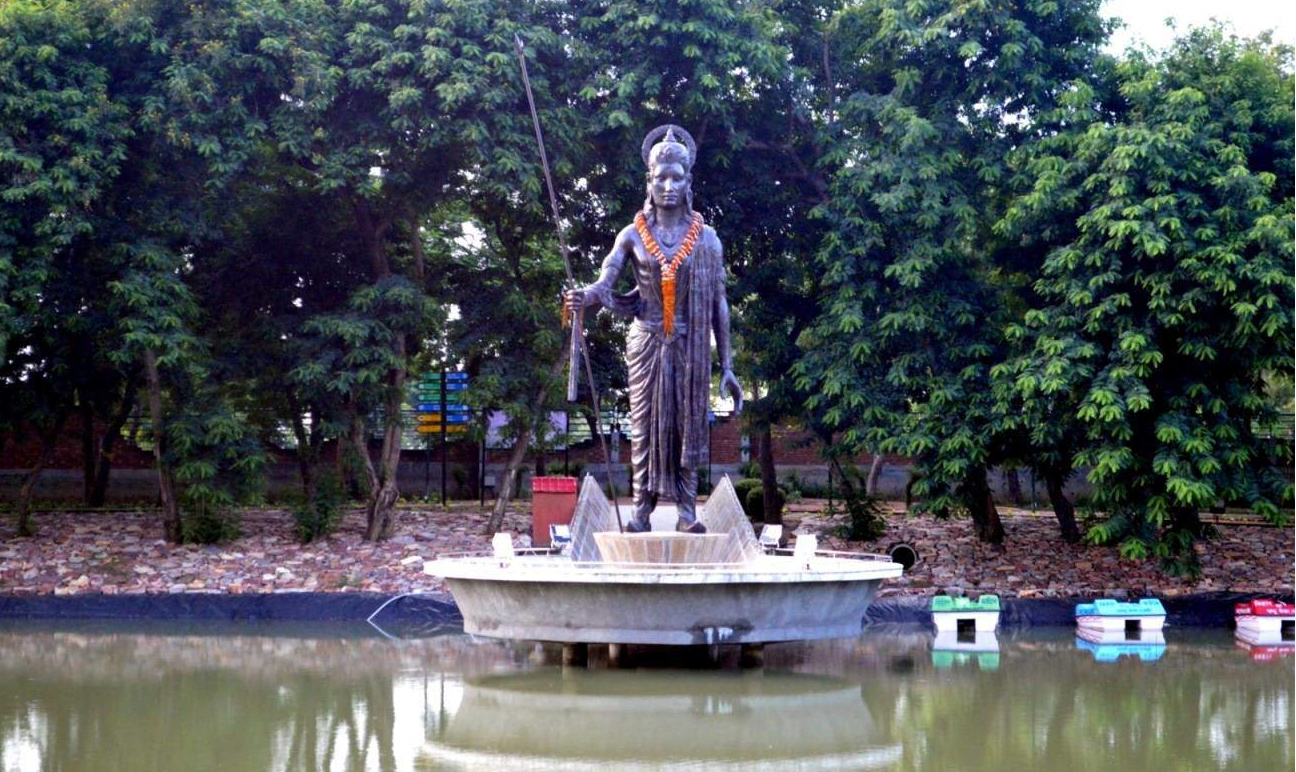
Breathtaking landscapes and fun-filled activities makes PANDU POKHAR – a paradise for all. From beautiful gardens to an open air theatre, to a pond overlooking 37 feet tall bronze statue of King Pandu to a herbal maze – we are at a place to enjoy and admire nature. A park with a unique combination of entertainment and camping makes it a wonderful place for corporate events, school excursions, family and other social gatherings. Truly, a beautiful destination for a perfect vacation. Experience the goodness of nature with fun. Starting with adventurous Zipline and Zorbing, the park is filled with fun rides, games and pleasure gardens. At dusk, the display of colourful fountains in the pond enhances the beauty of the park. Evening walks in the serenity of the park allows nature’s peace to flow in, soothing the soul and mind.
Ghorakatora Lake (Rajgir)
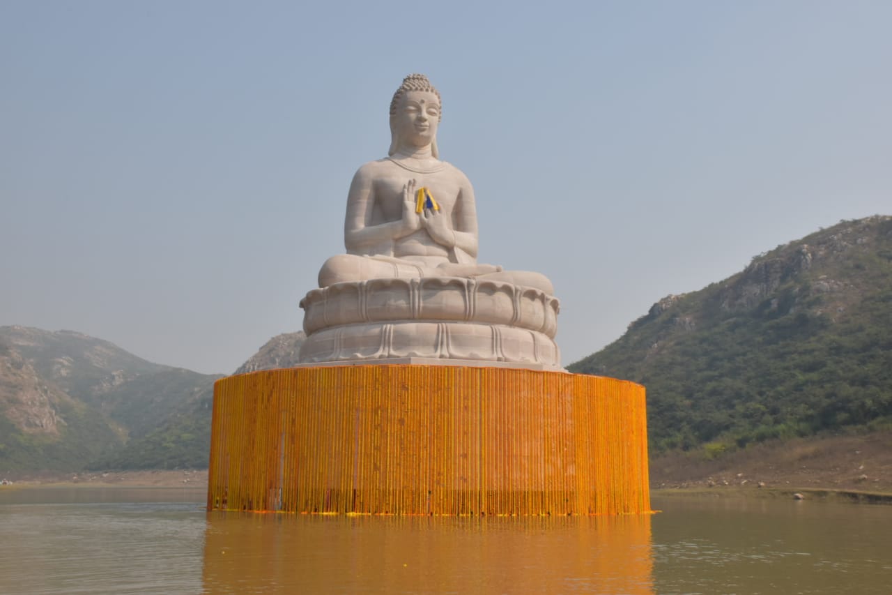
This is a lake surrounded by beautiful hills. This is near WORLD PEACE PAGODA. As this area too is connected to the lord Buddha, govt. of Bihar has decided to mark this by largest statue of Buddha in India and among top 5 in the world.It's height will be 200 feet and it will take 3-4 years to get completed.
Fairs
Fairs of Bihar
Bihar is located in the eastern part of India and it shares the passion and zeal of celebrating the established and spiritual fairs and festivals of India with the rest of the country. Fairs and festivals have always been an essential part of life in Bihar.
These fairs are relevant in the way that they narrow the gaps between different communities by bringing them closer and give them a reason to enjoy and celebrate. These fairs may last from one single afternoon to several weeks. There exist different variations of fairs, including street fairs, agricultural fairs, state fairs, trade fairs and so on. Each of these fairs denotes vivacity, color, high spirit, dedication, ebullience, peace, power, humanity, artistic performances, prayers and rituals. Some of the fairs most prevalent in Bihar are described in the following.
Sonepur Mela
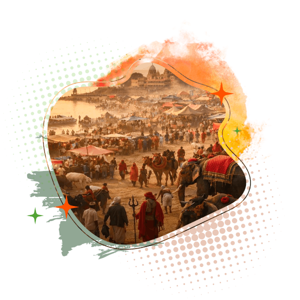
Sonepur Mela, also known as the Harihar Kshetra Mela and Sonepur Cattle Fair, is one of Bihar’s most iconic representations of its rich cultural, historical, and religious heritage. Held at the sacred confluence of the Ganga River and Gandak River in Sonepur (Saran), the fair begins on the auspicious occasion of Kartik Purnima and continues for a month. Its religious significance is deeply rooted in the legend of Gajendra Moksha, where Lord Vishnu is believed to have rescued an elephant from a crocodile at this very site; the nearby Harihar Nath Temple, dedicated to both Vishnu (Hari) and Shiva (Hara), attracts thousands of devotees who take a holy dip and offer prayers. Historically, the fair dates back to ancient times and is associated with Chandragupta Maurya, who is believed to have procured war elephants and horses from here, while traders from as far as Central Asia once participated in its vibrant markets.
Today, it is regarded as Asia’s largest cattle fair, combining traditional livestock trading with a grand display of rural commerce, folk culture, handicrafts, local cuisine and entertainment, making it a major socio-cultural and tourism event in Bihar. The fair is also a marketplace for rural Bihar, selling everything from agricultural tools and furniture to Madhubani paintings and local handicrafts. The Mela is also famous for its ‘theatre’ and carnival atmosphere, where performances by folk artists, singers and theatre troupes are enjoyed by many.
Pitrapaksha Mela
Pitrapaksha Mela, held in the sacred city of Gaya, is one of Bihar’s most spiritually significant events, dedicated to honoring ancestors through ancient Hindu rites. Observed annually during the 16-day period of Pitrapaksha (September–October), the mela attracts devotees from across the world who come to perform ancestral offerings believed to ensure peace and liberation for departed souls. Rooted in the legend of Gayasur and the blessings of Lord Vishnu, Gaya is regarded as the most sacred place for these rituals, with the revered Vishnupad Temple serving as the focal point. Pilgrims begin with a ritual bath in the Phalgu River and follow a traditional circuit of sacred sites, including the eternal Akshayavat. Combining deep-rooted mythology, structured rituals and global participation, the Pitrapaksha Mela represents Bihar’s enduring spiritual heritage and its importance in religious tourism.
Shrawani Mela
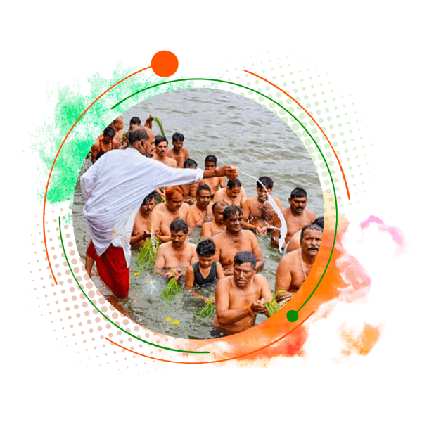
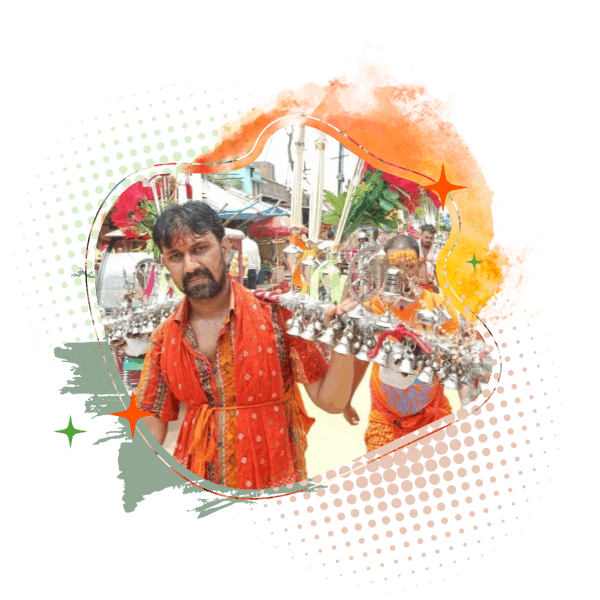
Shravani Mela is a major, ancient and religious event of Bihar, observed annually during the holy month of Shravan. The principal center of the mela is Sultanganj (Bhagalpur), where devotees collect sacred water from the north-flowing Ganga River near the revered Ajgaibinath Temple and undertake a traditional pilgrimage to Baidyanath Dham (Deoghar, Jharkhand). Historical and mythological traditions indicate that this practice has been followed since ancient times and has evolved into a large-scale expression of collective faith. During this period, prominent Shiva temples across the state, including Garibnath Temple (Muzaffarpur), Singheshwar Nath Temple (Madhepura), Harihar Nath Temple (Saran), Budhanath Temple (Bhagalpur) and Siddheshwar Nath Temple (Jehanabad) witness a significant influx of devotees. The entire event is marked by disciplined participation, devotional practices, and spiritually vibrant atmosphere.
Saurath Sabha
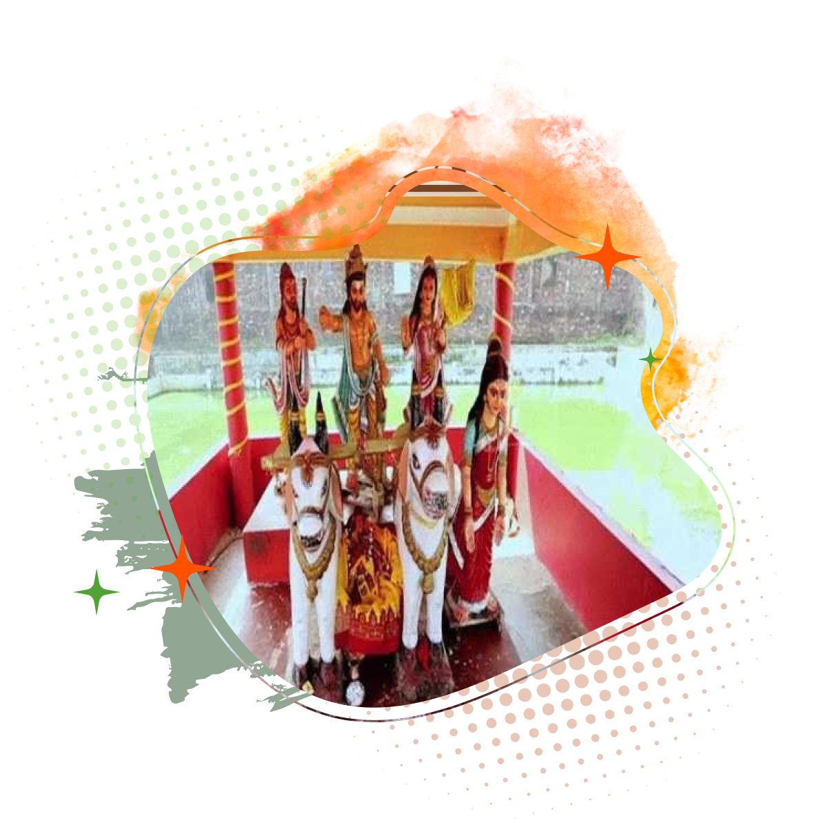
Saurath Sabha, also known as Sabha Gachhi, is a distinctive socio-cultural tradition of Bihar’s Mithila region, held in Madhubani. Unlike conventional fairs, this centuries-old gathering functions as a structured matrimonial assembly for Maithil Brahmins, rooted in the unique system of genealogical verification known as Panji System. Established during the reign of King Hari Singh Dev, the system is managed by traditional registrars (Panjikars) who meticulously maintain family lineages and ensure eligibility for marriage by verifying ancestral records. The event takes place in a serene orchard setting, where families interact and finalize alliances following due approval through traditional certification. Associated with the cultural ethos of Mithila and supported by nearby sacred sites such as the Somnath Mahadev Temple, the Sabha reflects a unique blend of social order, tradition and heritage. Recognized for its historical depth and cultural relevance, Saurath Sabha stands as a remarkable example of Bihar’s indigenous systems of community organization and matrimonial customs.
Malmas Mela
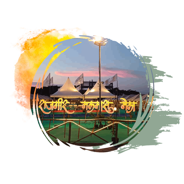
Malmas Mela, held in the ancient city of Rajgir, is one of Bihar’s most unique spiritual gatherings, taking place once every three years during the sacred month of Adhik Maas (Malmas). Rooted in Vedic belief, this period is dedicated to Lord Vishnu, when it is said that millions of deities descend to Rajgir, transforming it into a divine spiritual center. The mela is centered around the holy hot springs, especially Brahmakund, where devotees take ritual baths believed to purify the soul and grant immense spiritual merit. Pilgrims also visit various sacred kunds and temples across the surrounding hills, while acts of charity and devotion mark the essence of the festival. Blending mythology, faith, and natural heritage, the Malmas Mela stands as a distinctive symbol of Bihar’s deep-rooted religious traditions and spiritual tourism.